Topography
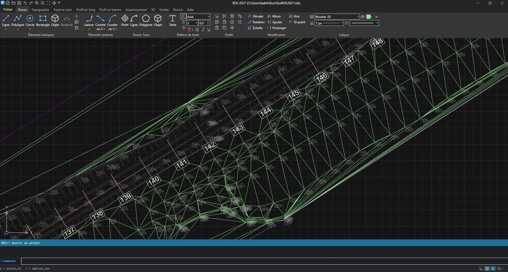
Survey import and processing, digital terrain model and contour lines.
Low-cost road design software for contractors and design offices: from the topographic survey to the 3D view, including earthwork volumes and planning.
Developed by Dr. Bakhti Rachid (École Nationale Supérieure des Travaux Publics — ENSTP, Algeria), RDS 2027 brings together in a single project all the stages of a road study, from the topographic survey to earthwork volumes and the 3D model.
RDS 2027 will be free for teaching and learning: students, teachers, researchers, training institutions and self-learning, with no time limit and no limit on the number of computers. Professional use (company, design office, administration, real project) will require a professional licence.
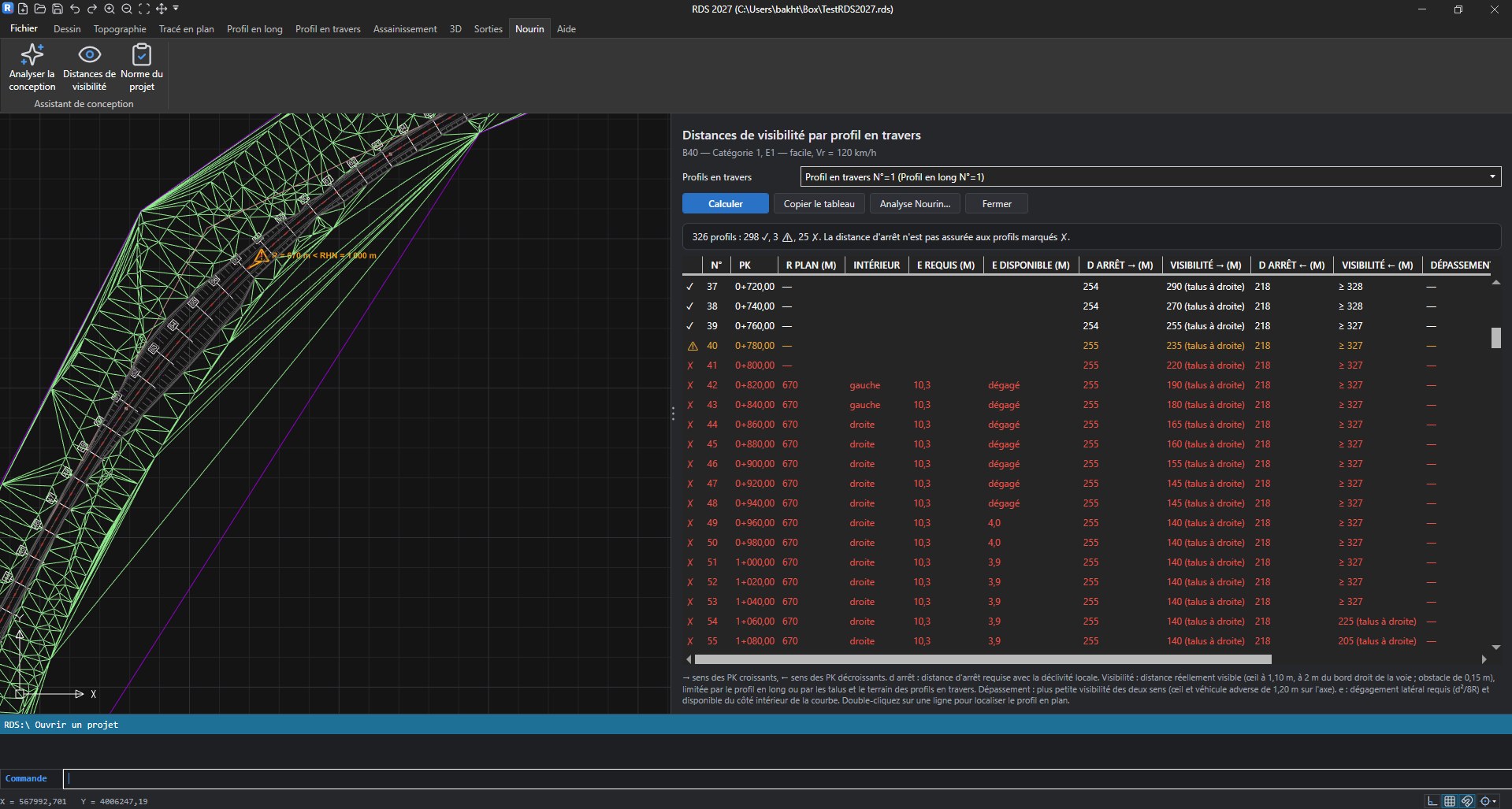
RDS is road design software for contractors and design offices. It lets you study a linear project (road project, sewerage) from its initial phase, importing the topographic survey, to its final phase: earthwork volume calculation, planning and 3D view.
RDS is available in English and French.
Survey import and processing, digital terrain model and contour lines.
Axis definition, tangents, curves and transitions.
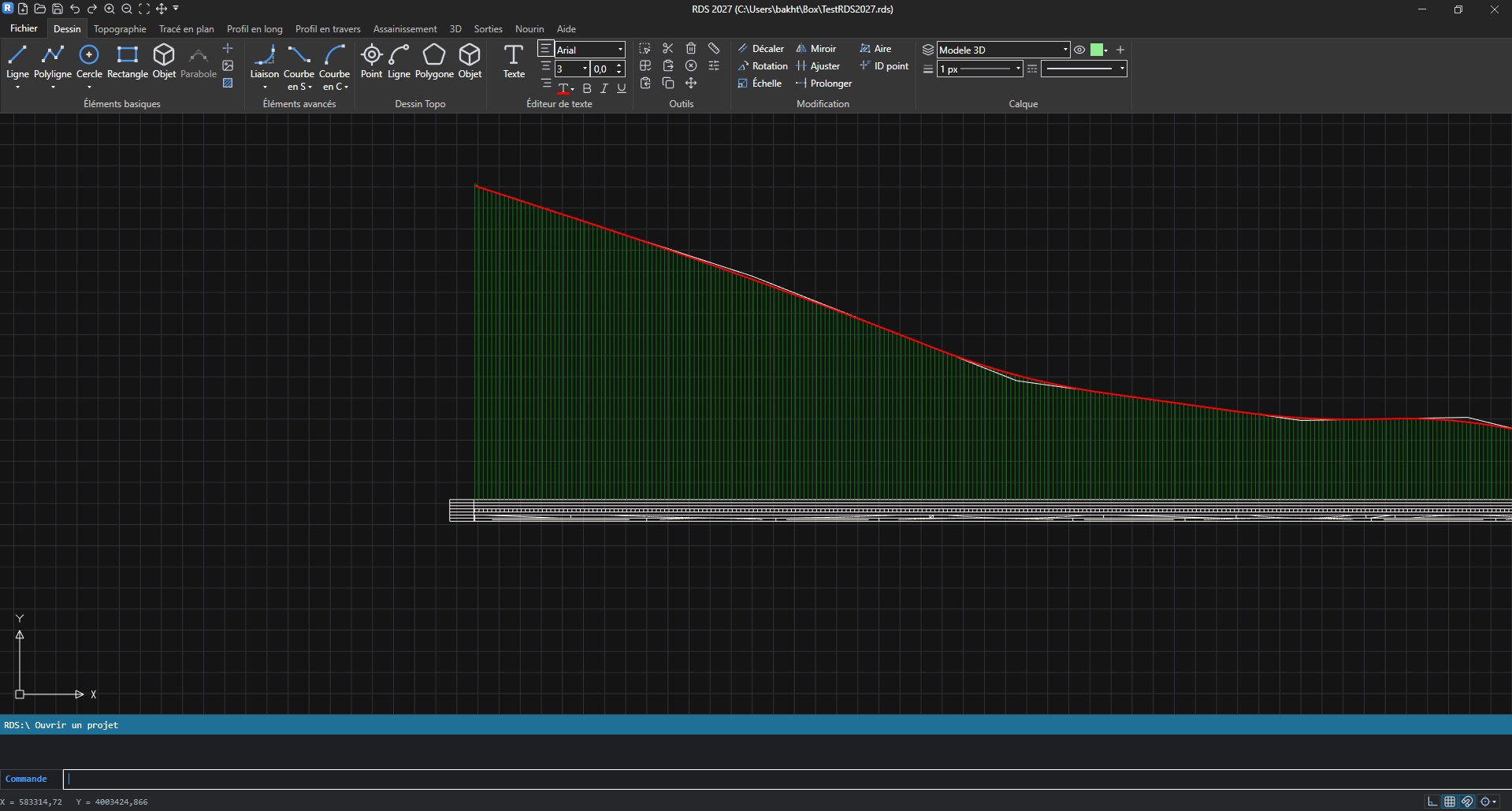
Grade line, key points and clean display mode.
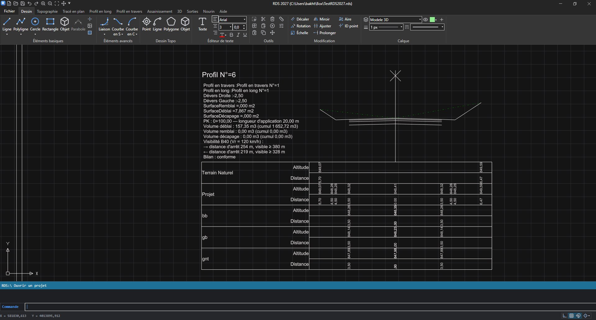
Real-time calculation of sections and earthwork volumes.
Pipeline networks and sewer networks.
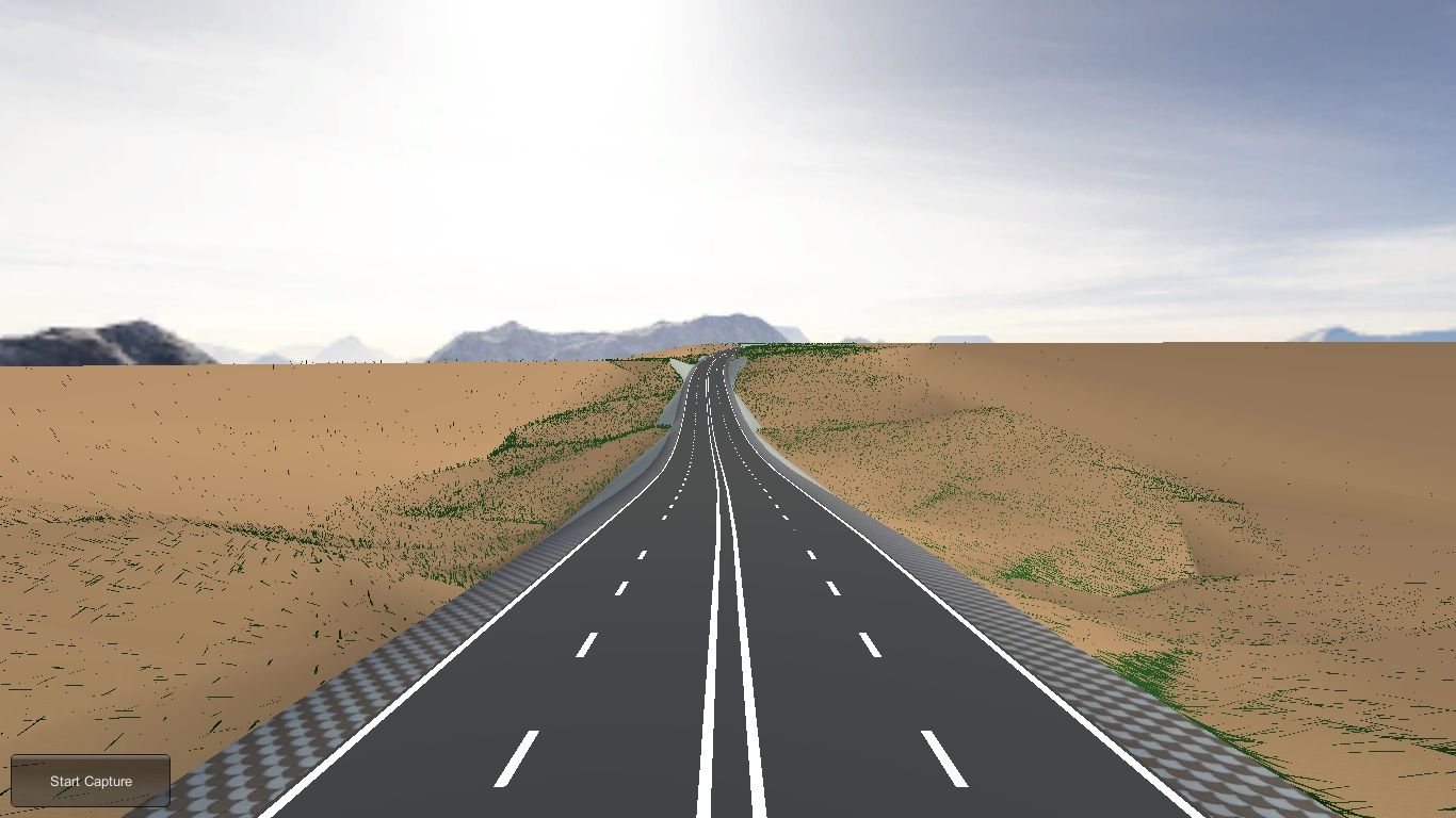
3D demonstration of the project and video export in MP4 format.